Travel guide · Los Alerces National Park
South Entrance and Amutui Quimey
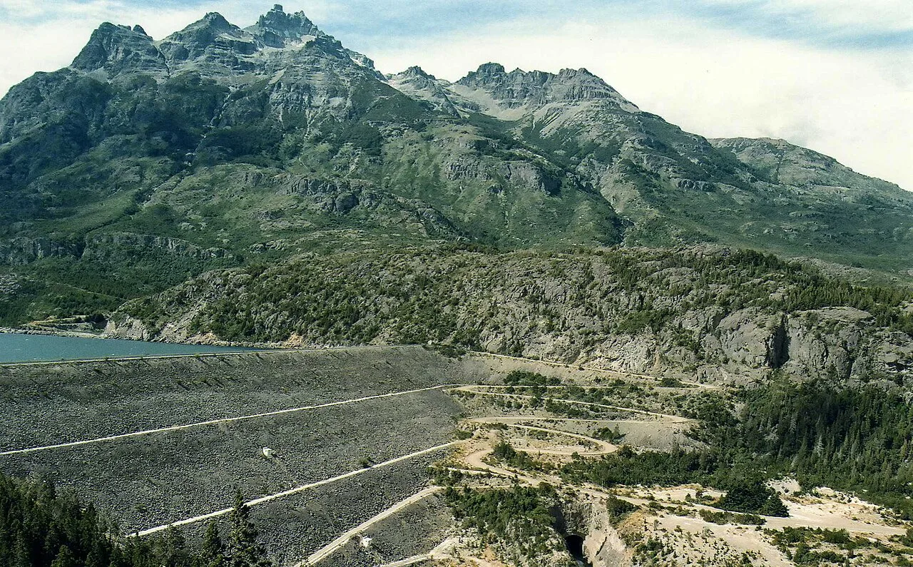
The park’s South Entrance brings together the Río Grande, Amutui Quimey reservoir and Futaleufú hydroelectric complex. It is a scenic route close to Trevelin.
Information checked against official sources
Why visit this place
The park’s South Entrance brings together the Río Grande, Amutui Quimey reservoir and Futaleufú hydroelectric complex. It is a scenic route close to Trevelin.
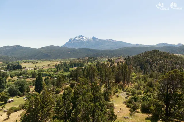
Viewpoints reveal the scale of the flooded valley and the meeting of infrastructure with the Andean landscape. Combine the route with Villa Futalaufquen or rural attractions south of Trevelin.
Three ways to experience it
View the reservoir from scenic lookouts
Explore the park’s southern access
Combine river, forest and hydroelectric history
Images to shape your route
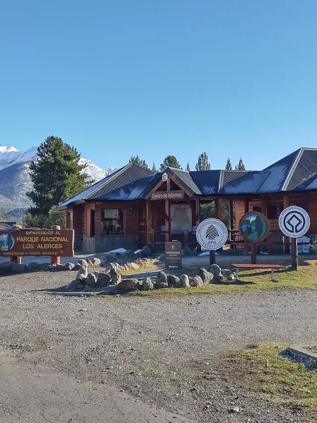
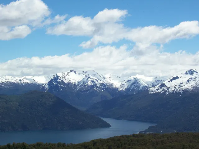
The main photograph shows this destination. Supporting images feature clearly labelled nearby stops.
Plan your visit
Practical details for an initial plan. Access, hours and conditions can change.
Do not enter operational or restricted areas; follow signs and road-status information.
Map and directions
Open directions from your location. The marker is a reference: confirm the exact access point and open areas before setting out.
Directions in Google MapsCheck official informationFrequently asked questions
When is the best time to visit?
Year-round · road dependent
How much time should I allow?
Half day
Can I visit independently?
The indicated visit type is: By car with stops. Confirm with the official source whether admission, booking, a guide or a licensed operator is required.
What should I check before leaving?
Check weather, road or trail conditions, opening hours, bookings and current restrictions with the official source.
An editorial guide by Valle Florido based on official tourism sources and credited material. It does not replace daily road, weather or protected-area reports. Do not enter operational or restricted areas; follow signs and road-status information.